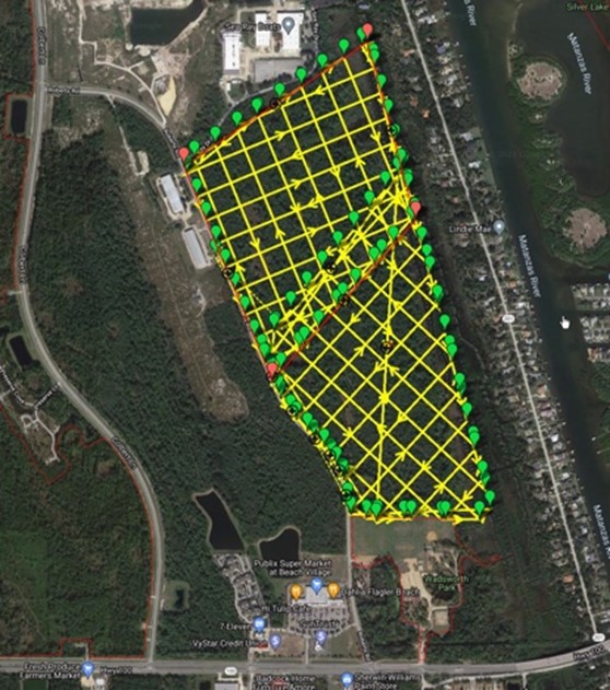
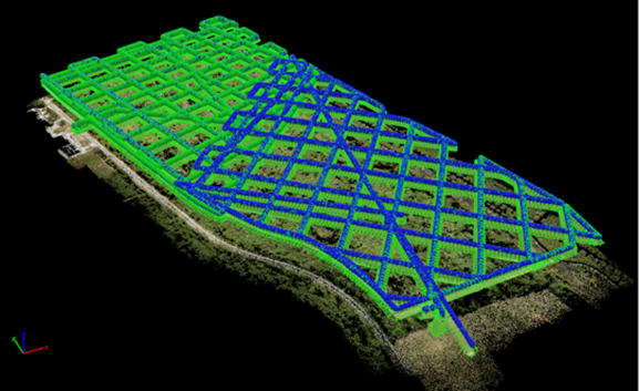
In celebration of National Surveyors Week, we are excited to share a glimpse into the technology we use to best provide our surveying and mapping services to our clients. From 3D scanners to aerial drones, discover details on a few of our innovative technologies below.
Mala Ground Penetrating Radar
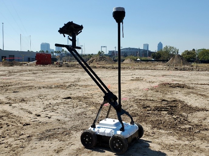
Ground Penetrating Radar (GPR) is a unique geophysical locating method. In a non-destructive way, this technology uses electromagnetic waves to capture images below a ground’s surface. In comparison to other minimally invasive methods such as ultrasonic, microwave, or infrared thermography, GPR offers maximum penetrating power to detect concrete defects or deteriorations at greater depths.
At ETM Survey, we commonly use GPR to locate underground utilities without having to disturb the ground.
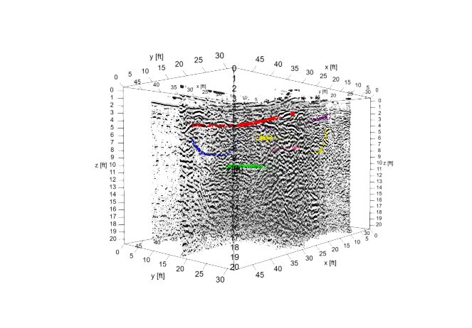
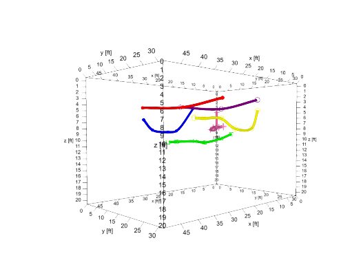
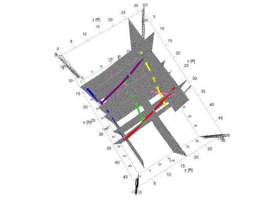
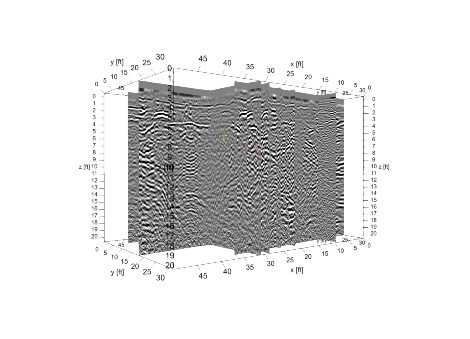
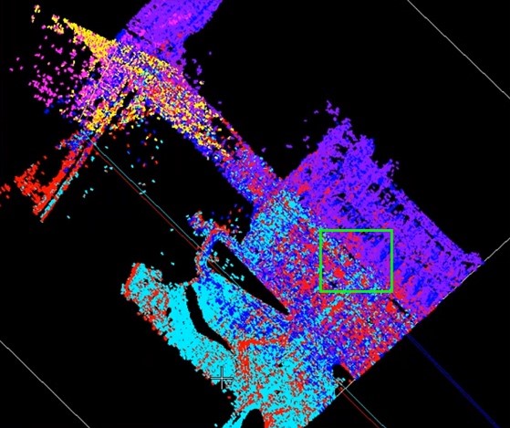
Below are the image outputs often received from GPR.
Harris (H6-Hybrid) Drone with Riegl VUX-1 Lidar
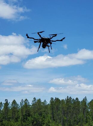
Our drone fleet’s state-of-the-art technology enables our qualified technicians to capture aerial imagery and videography with superior quality at a rapid pace. With the help of our fleet of drones, we can:
- Capture LiDAR imagery to generate precise, three-dimensional information about an area
- Gather imagery of large sites through Orthomosaics
- Conduct Land Surveying with engineering grade results
- Take high-accuracy ground shots
- Have extended flight times through the devices’ gas/electric hybrid power
- Turnaround conventional topographic surveys six times faster than industry average
Leica P40 – Lidar Scanner
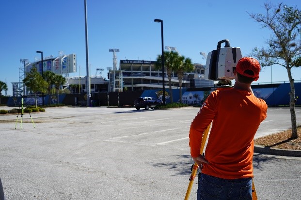
Lidar scanning is a commonly used land surveying technique that accurately measures and collects data from objects, buildings, surfaces, and landscapes. While lidar scanning dates back to the 1960s, our Leica P40 Lidar Scanner enables us to gather data like never before. Our lidar scanning system uses laser beams, advanced sensors, Global Positioning Systems (GPS), photodetectors, etc. to calculate precise coordinates of surfaces and structures.
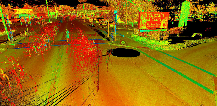
Pictured below, you can see the outcome of a Lidar Scan at our San Marco Avenue project in Jacksonville. The colors have various meanings depending on the settings. The correct settings are determined based on what interpretations need to be identified, such as point density or overall elevation contour.
SUE Truck
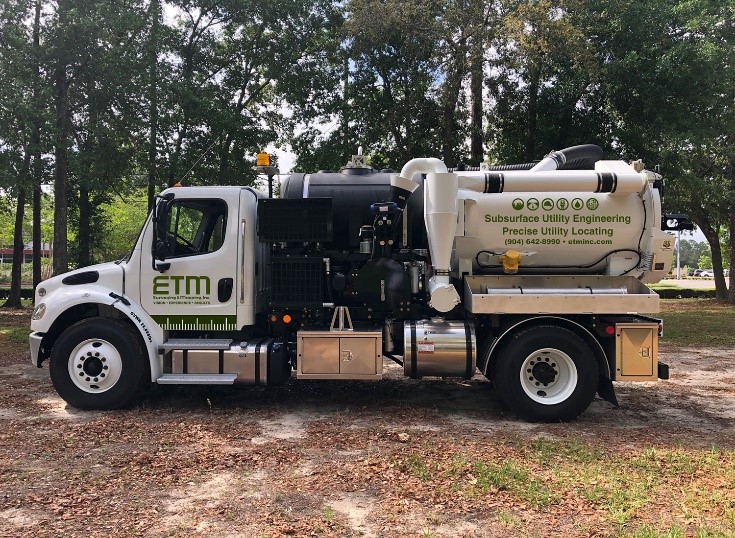
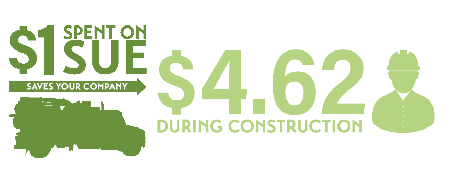
Subsurface Utility Engineering (SUE) is a risk management process that combines geophysics, civil engineering, electronic tracing, asset management technologies, and nondestructive excavation technologies to verify subsurface utility data and precisely map existing underground utility systems.
SUE is an important and specialized engineering discipline to help mitigate the risks associated with utility mapping and planning for future construction projects.
For projects within FDOT rights-of-way, SUE services have been implemented as standard procedures during the design phase of roadway projects. The purpose is to identify existing utilities at the start of project’s design to reduce utility-related risks and costs, increase public safety throughout the design and construction phases of a project.
About ETM Survey
Trusted since 1924, ETM Surveying & Mapping, Inc. has emerged as a leader in the land surveying industry. Our licensed and highly trained land surveyors specialize in the most advanced techniques and technologies. We provide a multitude of services including ALTA/NSPS Land Title Surveys, Topographic Surveys, Subsurface Utility Location/Investigation, and High-Definition 3D Scanning services.
If you are interested in joining the ETM family, please visit our Careers page to review benefits and open opportunities.

