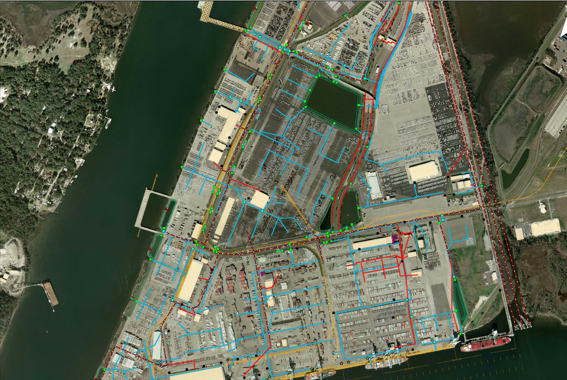
Located at the crossroads of the nation’s rail and highway network, is the Jacksonville Port Authority (JAXPORT) a global gateway to the Sunshine State. JAXPORT manages and operates three marine terminals, is Florida’s leading container port, and one of the nation’s largest vehicle-handling ports.
ETM was contracted by JAXPORT to implement a comprehensive Enterprise geodatabase, Esri based Geographic Information System. The primary purpose of the GIS is to support day to day management and maintenance of shore and waterside facilities at each terminal. The GIS provides mapping and spatial analysis functionality at all levels and across all departments responsible for terminal operations.
The City of Jacksonville implemented a Stormwater Utility, in which ETM, using stormwater infrastructure and BMP information, assisted JAXPORT in determining the extent of on-site stormwater treatment. This assessment assisted JAXPORT in reducing its annual stormwater utility fee by over $35,000.

