Enable data-driven decision-making with award-winning visualization and analytics.
ETM partners with leading GIS and Asset Management companies, such as Esri and OpenGov, to seamlessly enhance the effectiveness of our web-based mapping system. As a result, our clients have access to a comprehensive and interactive solution that connects people, processes, and products to enhance data-driven problem-solving. This platform functions as an Asset Management and Work Planning tool for various entities, including municipalities, utilities, and commercial organizations.
CIP Management
Through Geographic Information Systems (GIS), municipalities can prioritize, oversee, and clearly communicate their Capital Improvement Plans. Data-driven decision-making enables municipalities to allocate tax dollars effectively, and create transparency with their constituents.
Enterprise Asset Management (EAM)
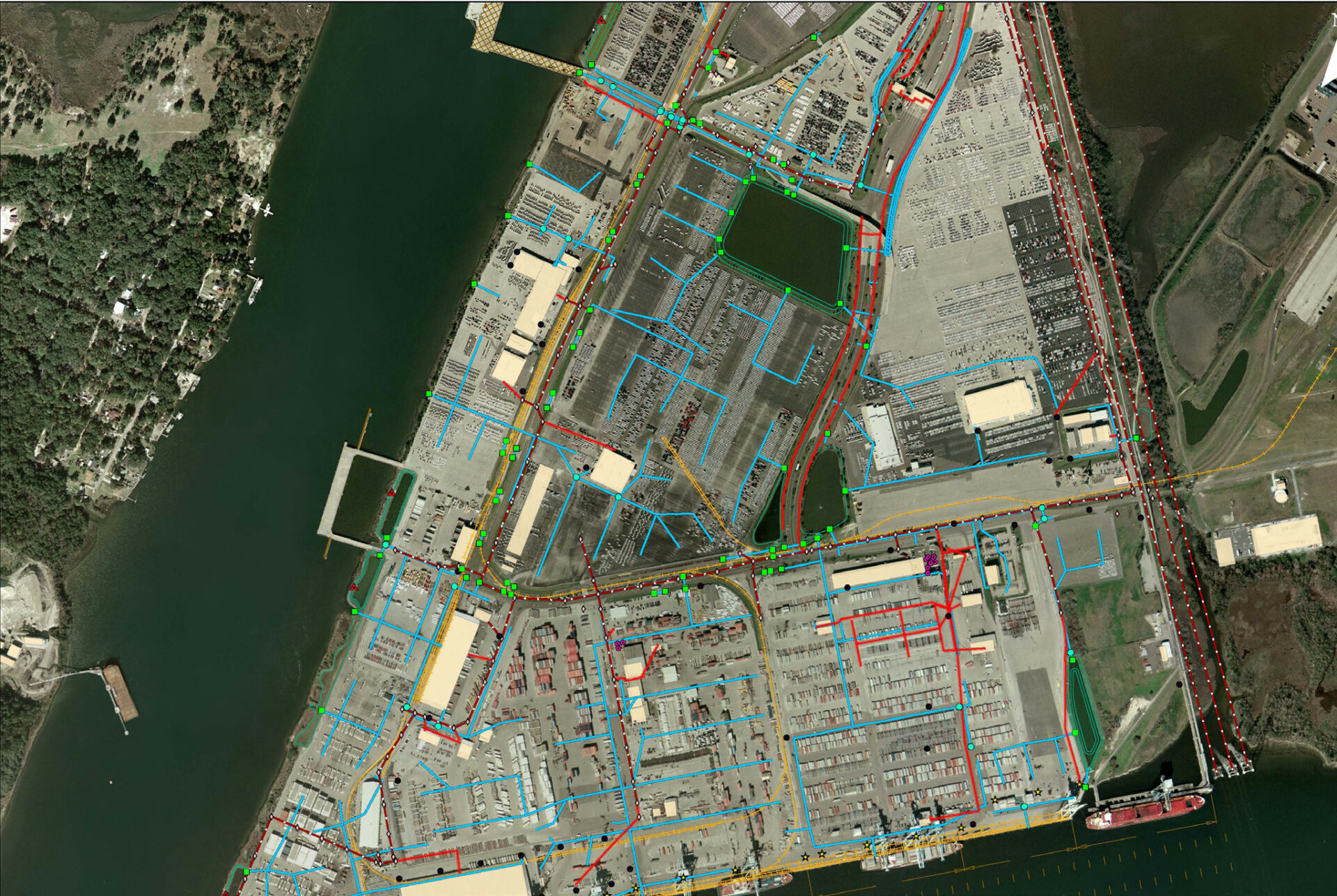
Our purpose-built software allows Public Works departments to streamline the management, automation, reporting, and planning of their Asset Management program. Through our partnerships with leading software providers like OpenGov, we deliver premier asset management solutions and support to our client partners.
Digital Twin
Create a data hub by integrating siloed data sources, simplifying access to critical insights. By merging 3D modeling with Internet of Things (IoT), city managers are empowered to make quicker, informed decisions based on comprehensive data visualization.
Land Acquisition & Management
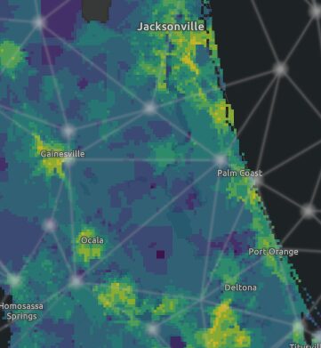
Enhance your land acquisition strategies and portfolio management with tailored analytics and fresh data. DeepVUE Geospatial was built by industry-leading professionals and offers everything from parcel data to permit tracking.
GIS & Data Consulting
As Esri Gold Partners, our experts provide support ranging from staff augmentation and Esri product migration to process automation and data management. Our Geospatial Consultants are equipped to tackle your most challenging GIS issues, enhancing operational efficiency with industry-leading technology.
Featured Projects
Meet Our GIS Experts
Latest Industry Awards
ArcGIS System Ready Specialty

Related Articles
ETM Geospatial Technologies is recognized by Esri as a ArcGIS System Ready Specialty partner. This designation ensures we are committed to being early adopters of Esri’s leading GIS software and incorporate this exciting technology into our many service offerings.

